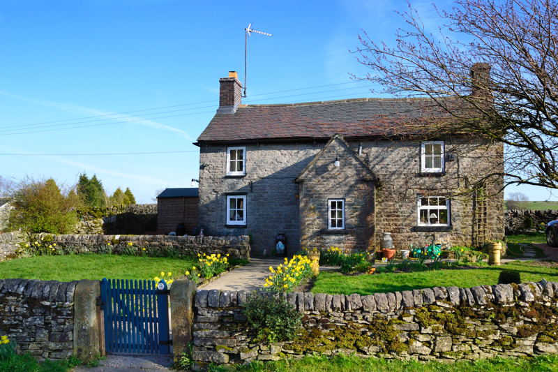
A 6 mile Peak District walk starting from the village of Wetton in Staffordshire.
Start: SK 10909 55179, DE6 2AF
Map: Landranger 119, Explorer OL24
Difficulty: 7
Refreshments : Wetton and Wetton Mill

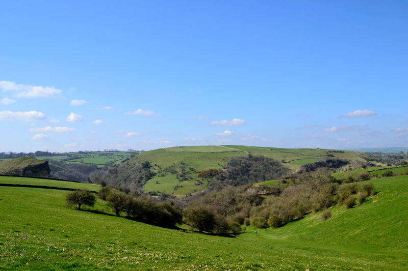
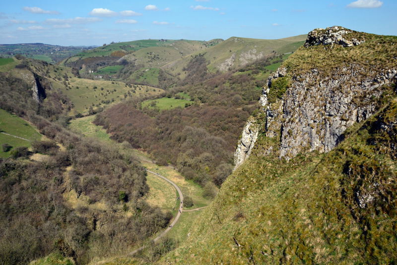
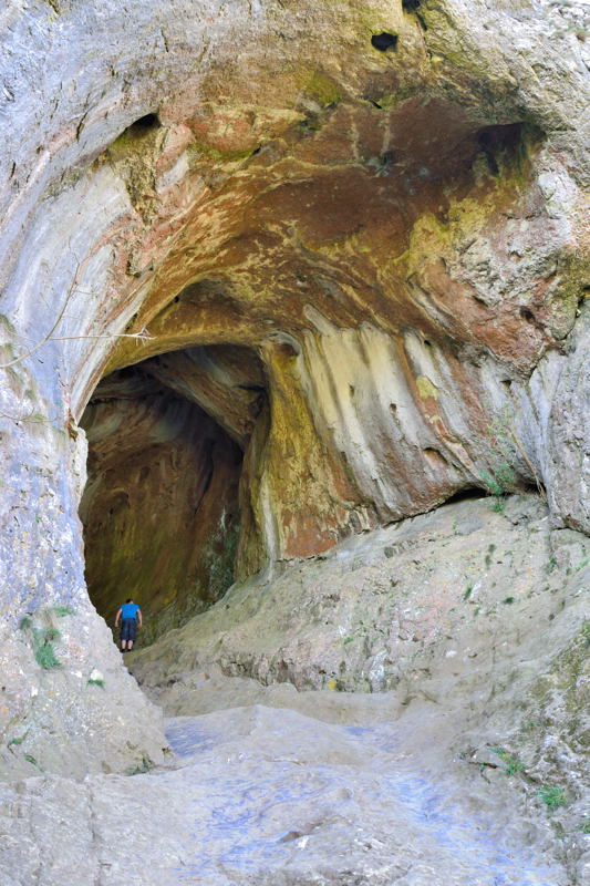
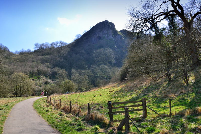
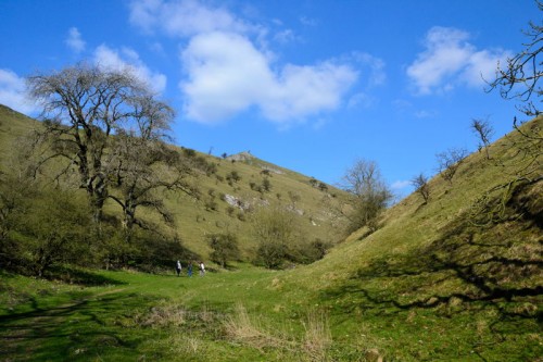
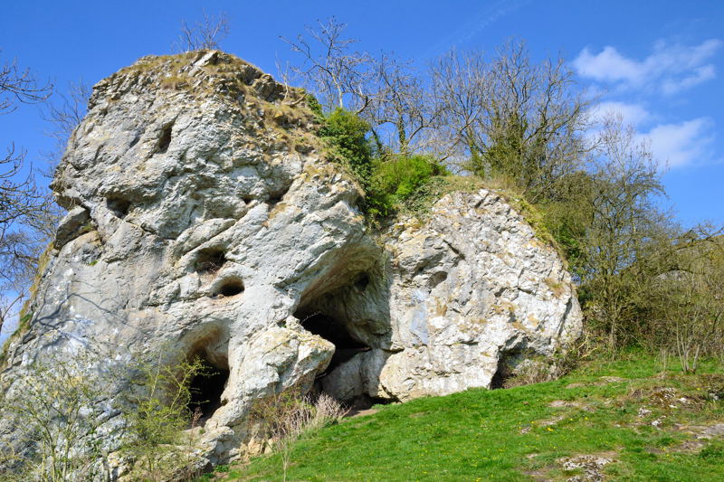
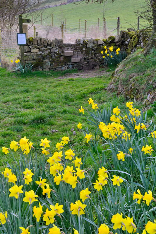
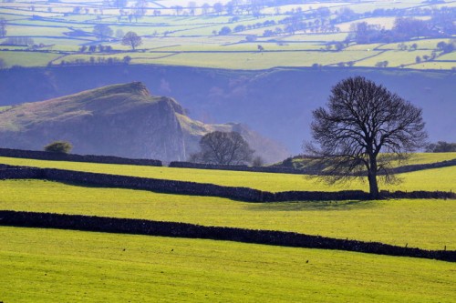
This Peak District walk starts in the village of Wetton and visits one of the most impressive caves in the Peak District National Park – Thor’s Cave. Thor’s Cave stands 360ft above the River Manifold, the entrance to the cave is 60ft high. It affords excellent views over to Grindon and north up the Manifold Valley to Nan Tor Cave and Wetton Mill.
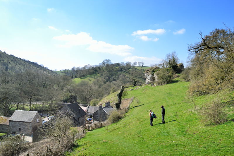
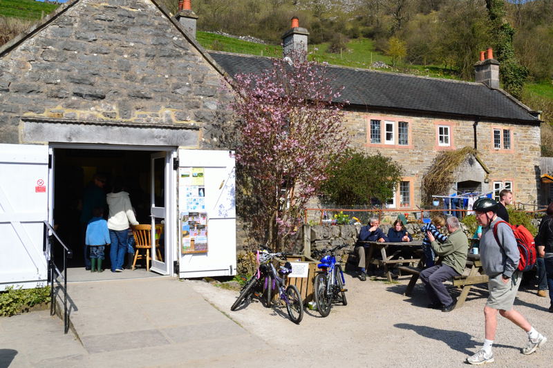
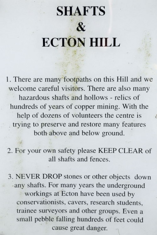
At Wetton Mill the hungry hiker can grab a cuppa and a bite to eat, explore Nan Tor Cave before finally heading off through the valley below Sugarloaf to Ecton Hill. The walk leads over Summerhill to the summit of Ecton Hill were there are fine views all around. On leaving the summit the careful walker can take a look at the many shafts and mine entrances dotted around this hill once the scene of industrial activity.
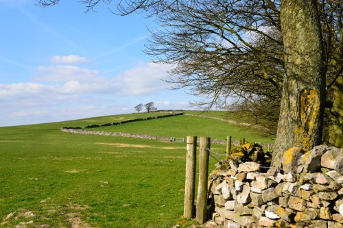
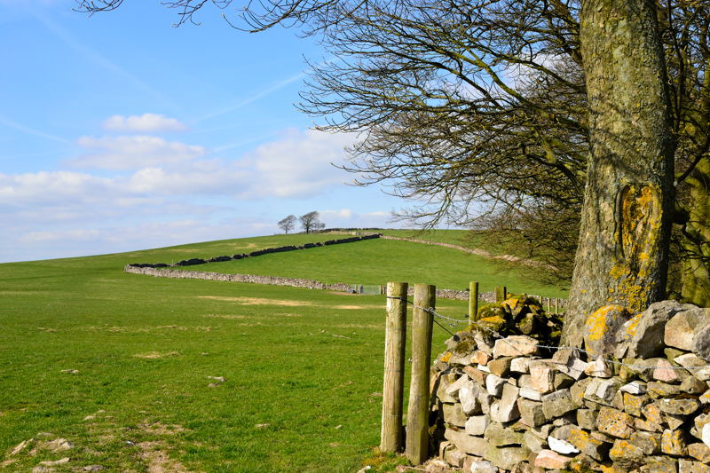
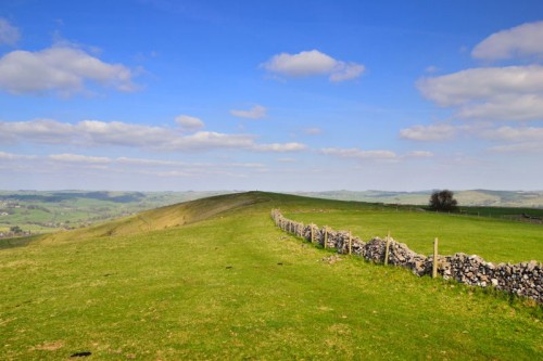
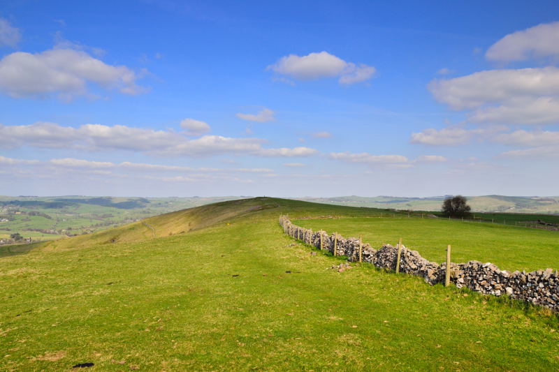
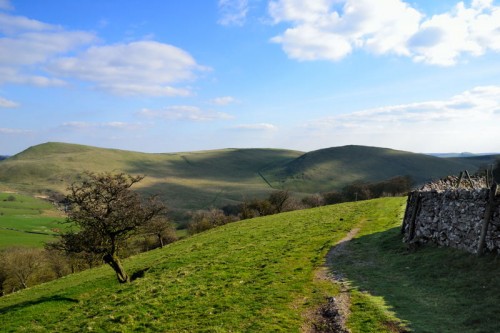
The walk continues up Wetton Hill popular with Paragliders.
Thor’s Cave, Manifold Valley and Ecton Hill Photo Gallery


Thor’s Cave, Manifold Valley and Ecton Hill Walk Directions
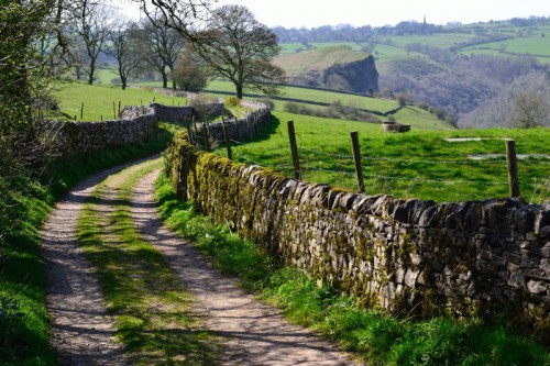
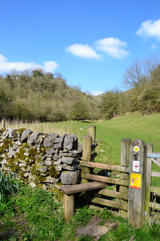
This Peak District walk starts in the Staffordshire village of Wetton. Parking and toilets are available in the public car park on Carr Lane.
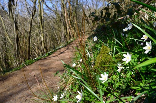
Turn right out of the car park and right again signposted Wetton Mill. Turn left at the T-junction along Leek Road. Turn left and follow the permissive footpath along a track over fields to Thor’s Cave. After visiting Thor’s Cave continue down the steps turning left at a junction of paths to the River Manifold and The Manifold Valley Cycle Track.
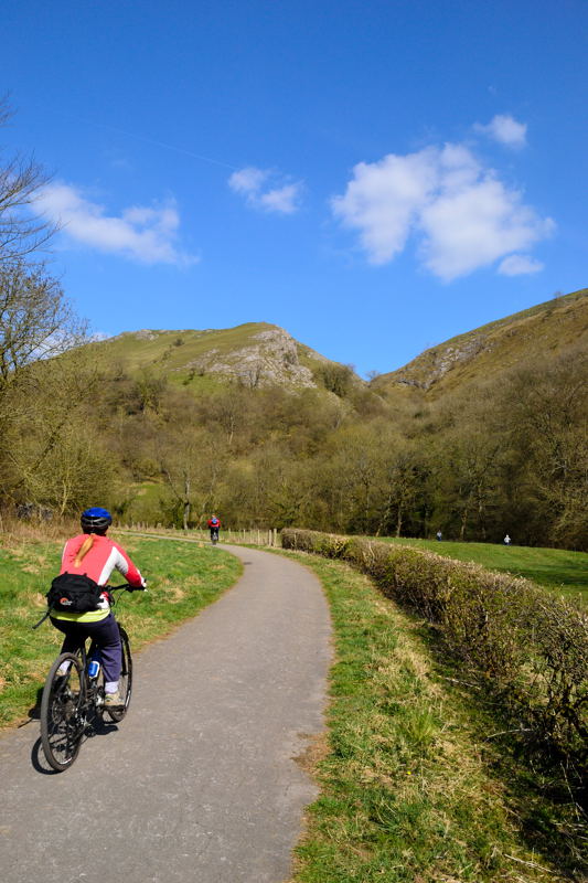
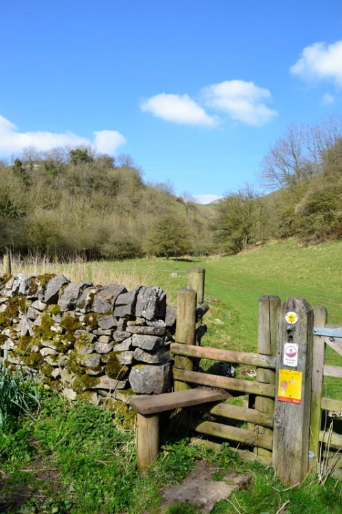
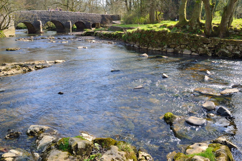
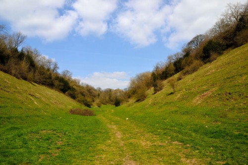
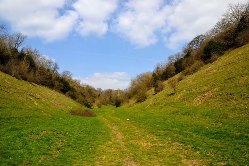
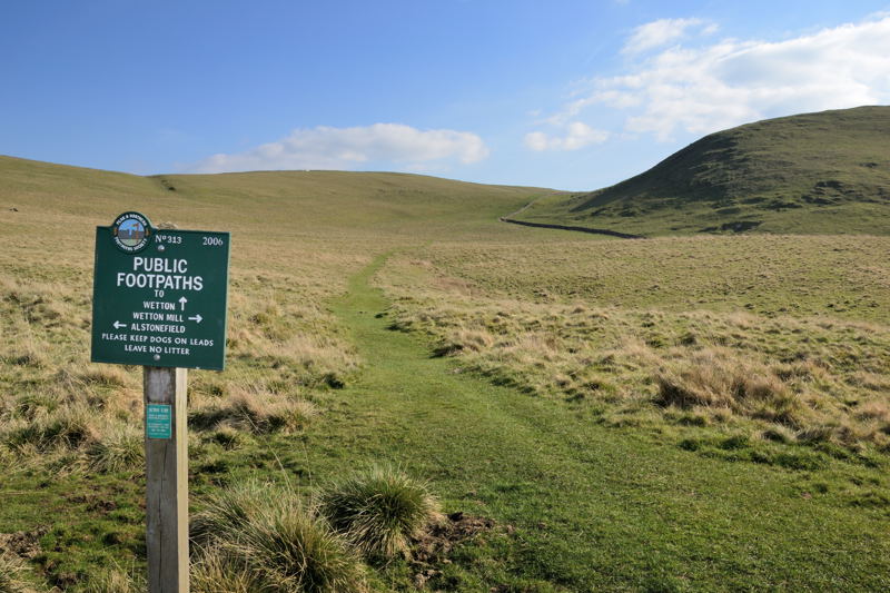
Turn right along the cycle track with views back to Thor’s Cave. The cycle track crosses the River Manifold just before reaching Leek Road. Cross the road and over a stile into the dry valley that runs beneath Wetton Hill. Follow the dry valley until it bends sharply to the right. Here on the left is a footpath that takes you over the hill and down to Wetton Mill
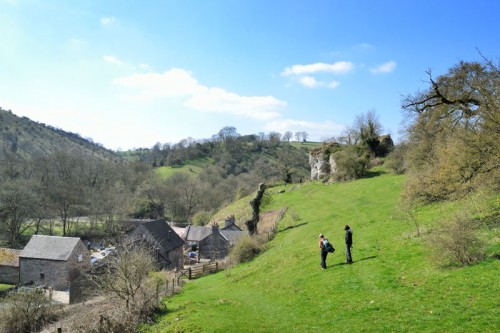
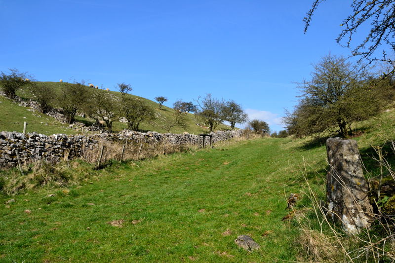
From Wetton Mill turn right, do not cross over the River Manifold along a track to Dale Farm Go through the farmyard and follow the footpath to Back of Ecton. After 1-¼ miles turn left along a narrow lane and then immediately left over a stone stile heading towards Summerhill Farm. Shortly the path heads diagonally to the right over fields to a permissive path that runs along the ridge of Ecton Hill.
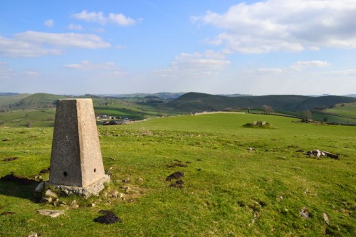
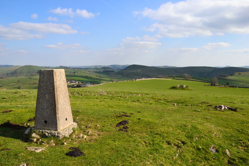
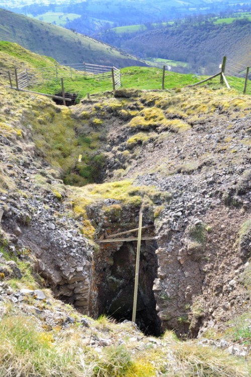
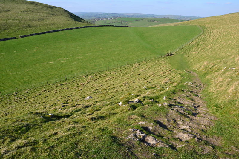
At a meeting of paths turn right along the permissive path to the trig point on the summit of Ecton Hill. From the trig point head north to a gate in the wall, go through the gate and down the hill to view one of the many mine shafts on Ecton Hill.
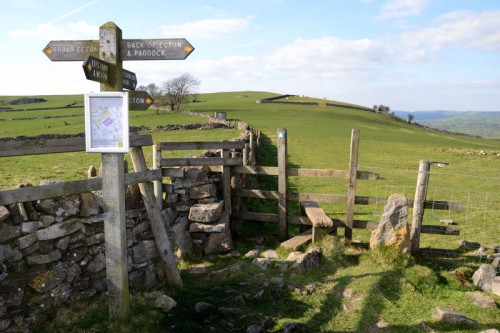
Return back and go through the gate keeping to the left along a public footpath past another old mine shaft and down the hill to a crossing of paths and a fingerpost. Follow the signs for Lees Farm and Wetton down to the hill to a lane.
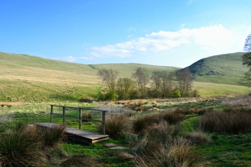
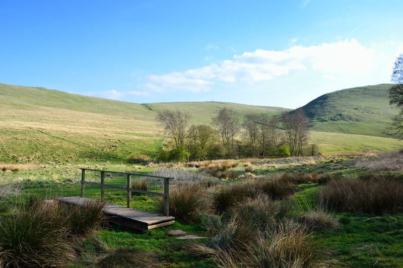
Turn left down the lane and left again at the T-junction shortly on the right just before a driveway a footpath leads down through a copse and across a field to a footbridge over a stream at the foot of Wetton Hill. Follow this footpath, later signposted Wetton all the way back to the village of Wetton. Turn left down the road and follow the signs back to the car park and the end of the walk.
Copyright © Peter Cox. All rights reserved