A 12 mile Peak District walk starting from Youlgreave.
Start: SK 19259 64472
Map: Landranger 119, Explorer OL24
Difficulty: 14
Refreshments : Monyash, Alport, Bradford and Youlgreave

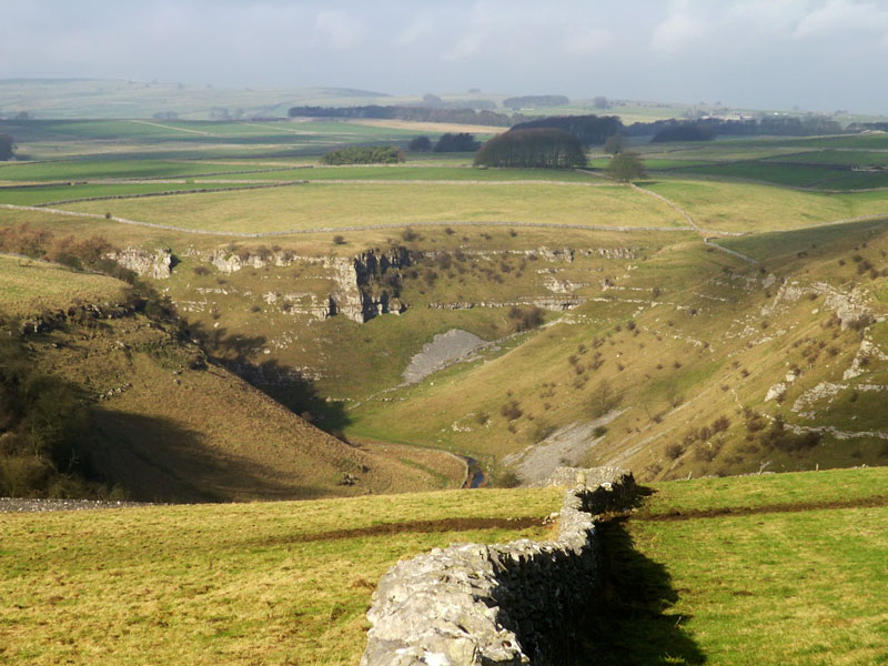
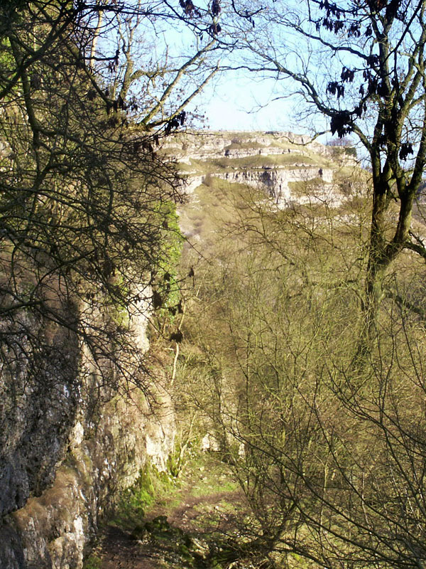
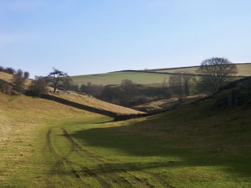
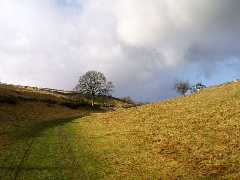
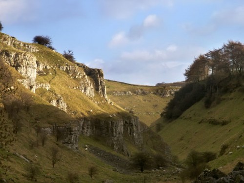
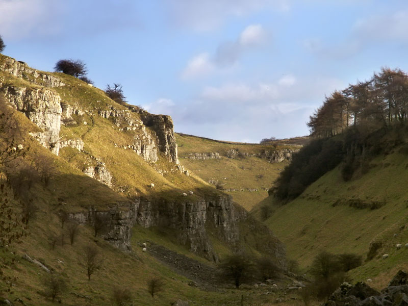
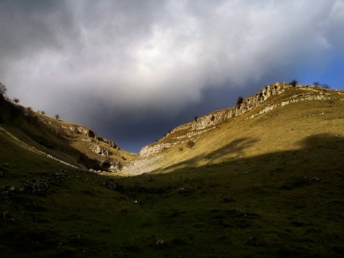
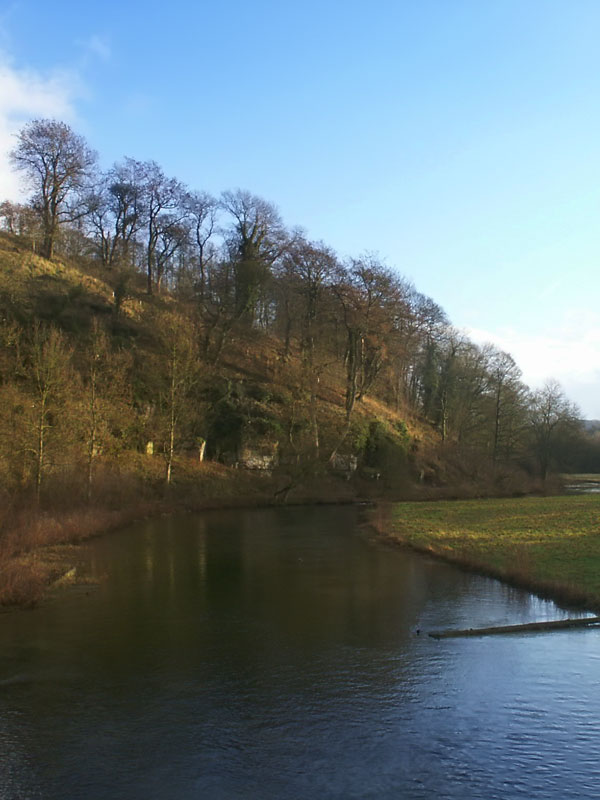
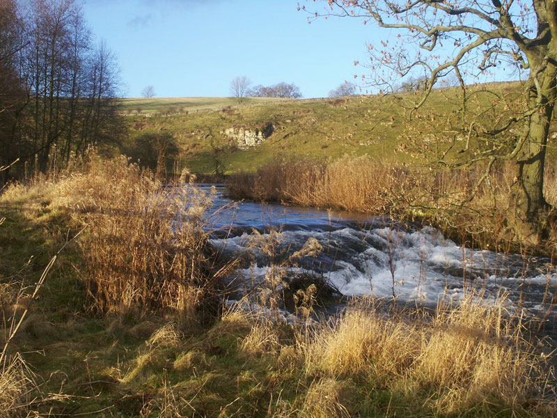
Lathkill Dale is part of the Derbyshire Dales National Nature Reserve, the limestone scenery in the middle section of the dale is particularly impressive. The first section of the dale is dry with gently rolling slopes on each side of the dale. The dale closes in just after Fern Dale and we enter the limestone gorge. The piles of rocks are spoil heaps from the quarries that once worked here. On the left the curve of the rock suggests fast flowing water has worn the rock away creating the dale we know today.
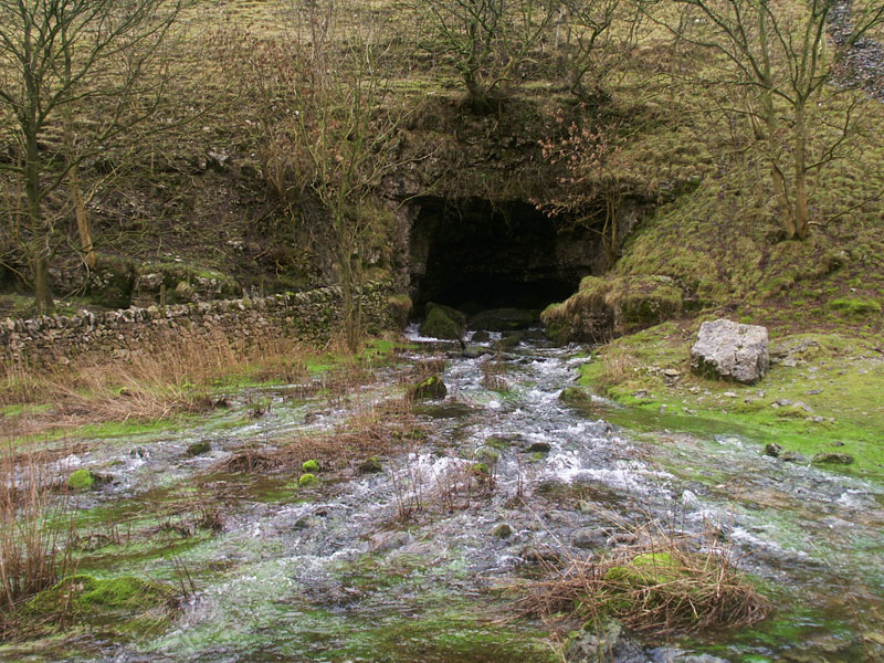
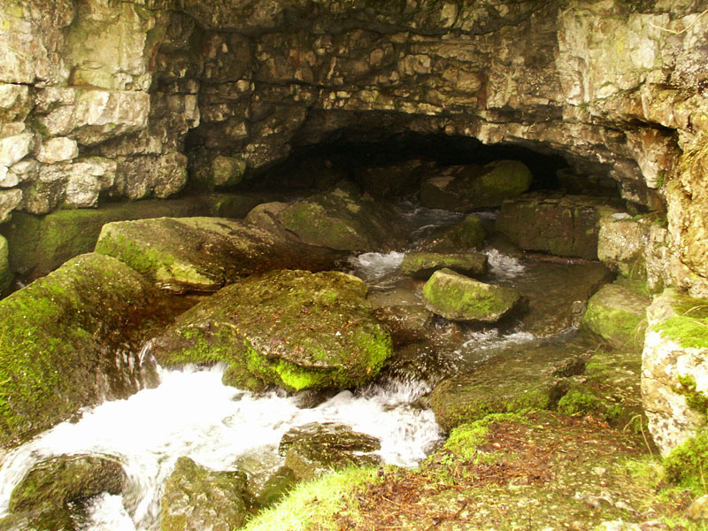
Further down on the right is Lathkill Head Cave. This is the source of the River Lathkill, although in dry summers the river surfaces nearer Cales Dale. Mining for lead took place in Lathkill Dale between the 13th and 19th centuries. Look out for Mandale Mine Engine House and the remains of an old aqueduct as you continue your walk along the dale.
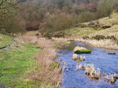
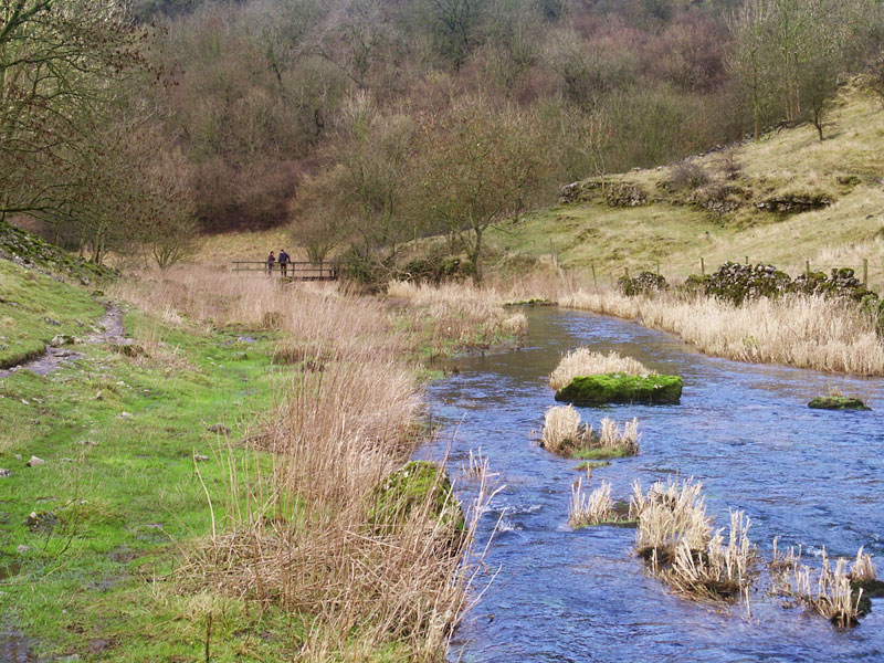
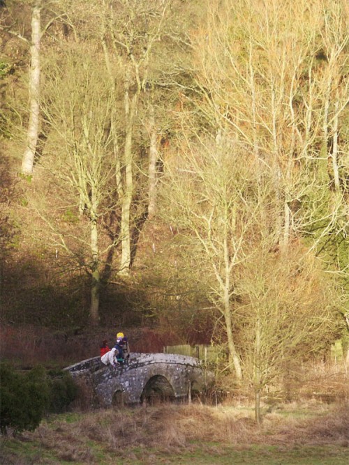
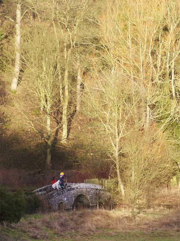
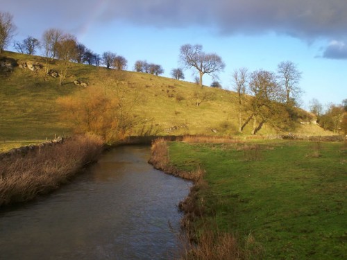
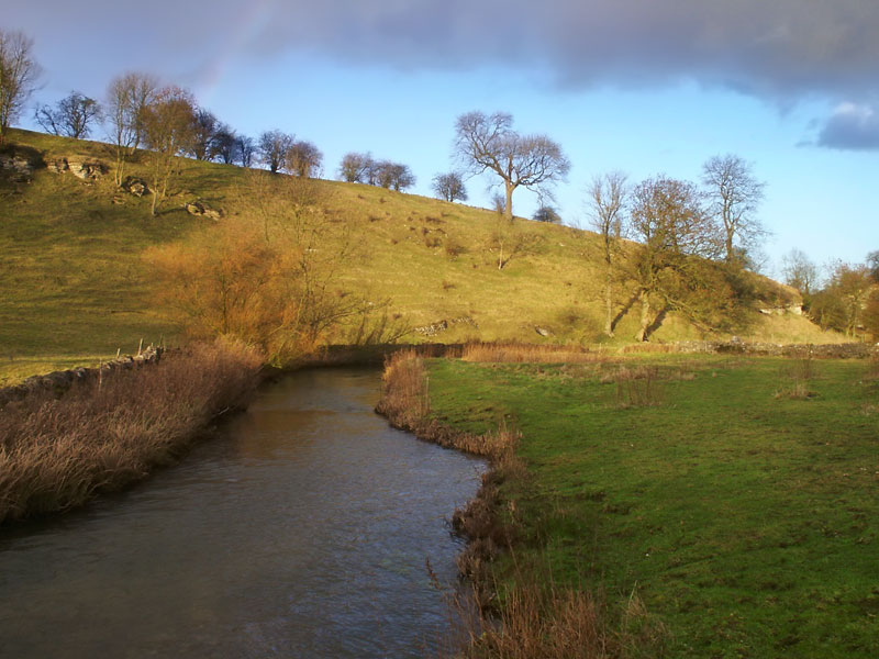
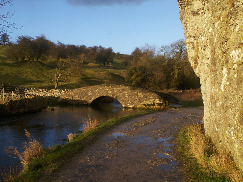
At Lathkill Lodge an ancient clapper bridge crosses the river but our walk carries on to Conksbury. The River Lathkill tumbles over small weirs used to maintain the water level to encourage trout to breed. Between here and Alport the dale is gentle and tranquil not as dramatic as the earlier part of the dale but just as attractive.
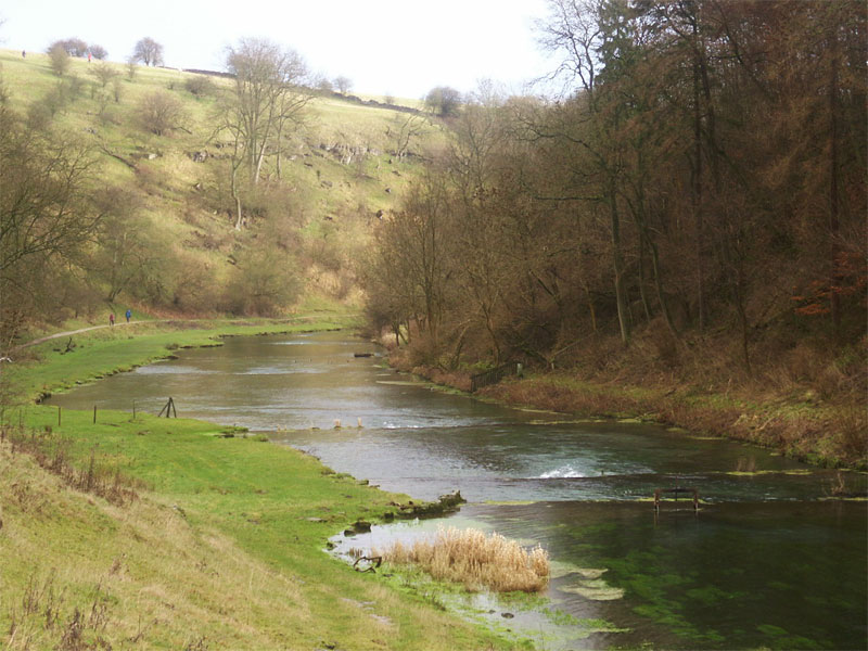
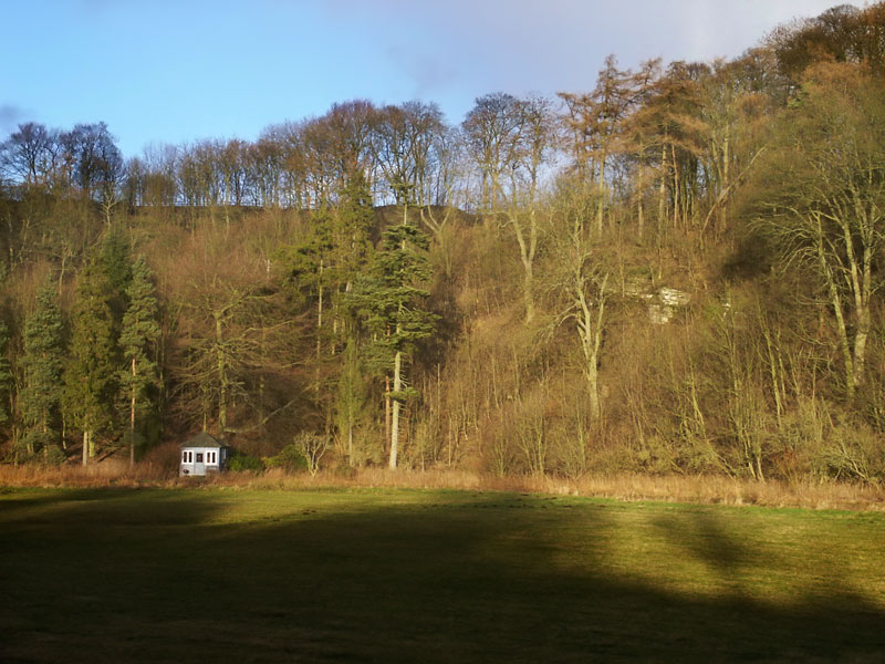
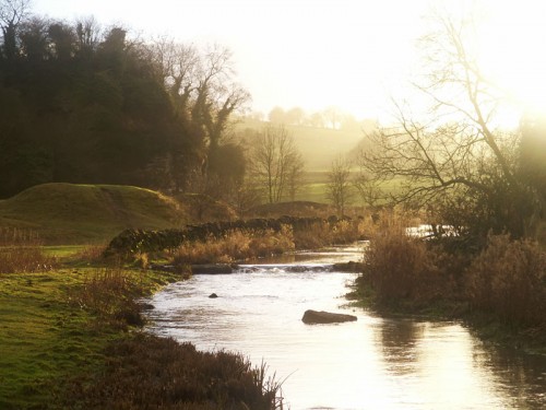
Our walk joins the clear waters of the River Bradford at Alport. Rhienstor, the limestone crag popular with rock climbers is on the left. A little further along is a bench under a limestone crag, an ideal spot to sit and ponder before continuing the walk. Opposite an old packhorse bridge carries a footpath over the River Bradford and into the village.
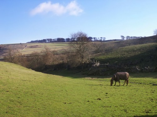
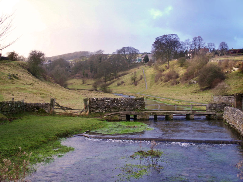
Our walk continues to the old fording point at Mawstone Lane and then follows the river upstream. The river valley widens now with cattle and sheep grazing beside the water, little bridges span the clear waters. A path leads off to the right and into Youlgreave but our walk continues upstream along the river to Bradford Dams. The dams are a series of trout pools, which date from the 1890’s.
Lathkill Dale and Bradford Dale Photo Gallery


Lathkill Dale and Bradford Dale Walk Directions
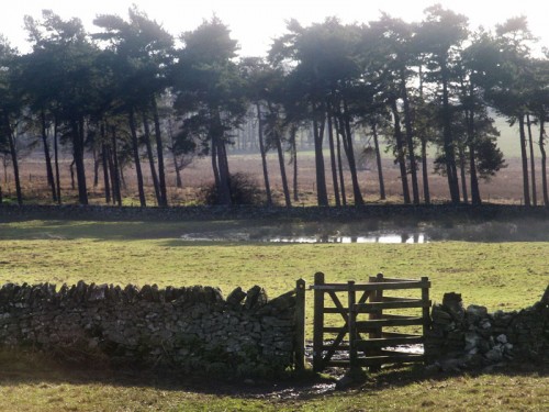
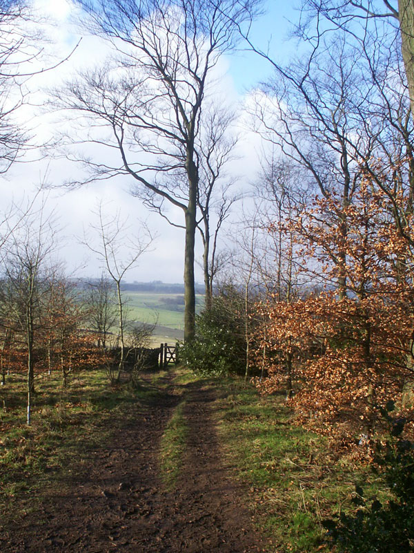
The walk starts at a picnic area on Moor Lane and descends over fields through Calling Low Farm and into Cales Dale. Rising immediately out of the dale through One Ash Grange Farm and onto Monyash.
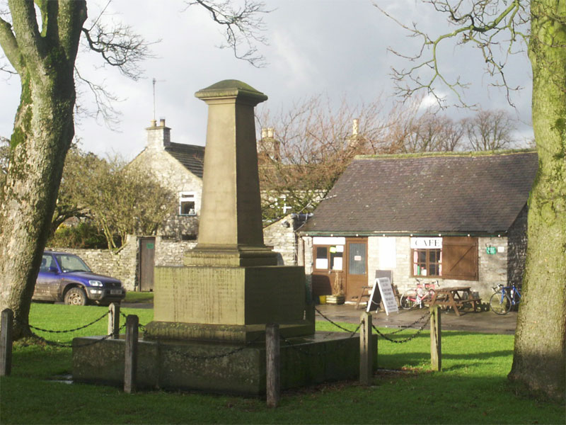
The Old Smithy Tea Room is here and is recommended, and next door the Bulls Head. The B5055 is then followed downhill to the start of Lathkill Dale. The walk stays on the north side of the dale until it reaches Conksbury where it changes to the south side until it reaches Alport.
Cross the road and go through a gate and follow the River Bradford through Bradford Dale passing beneath Rhienstor a limestone crag popular with rock climbers. Follow the dale to Bradford crossing the lane and continuing below Youlgreave on the opposite side of the river.
Follow the path beside the clear pools until a stone bridge is reached. Cross over the bridge ignoring a path to the left and follow a path that doubles back along the other side of the river and up into Youlgreave. Turn right along the road past The Farmyard Inn and turn left up Moor Lane back to the car park.
Copyright © Peter Cox. All rights reserved